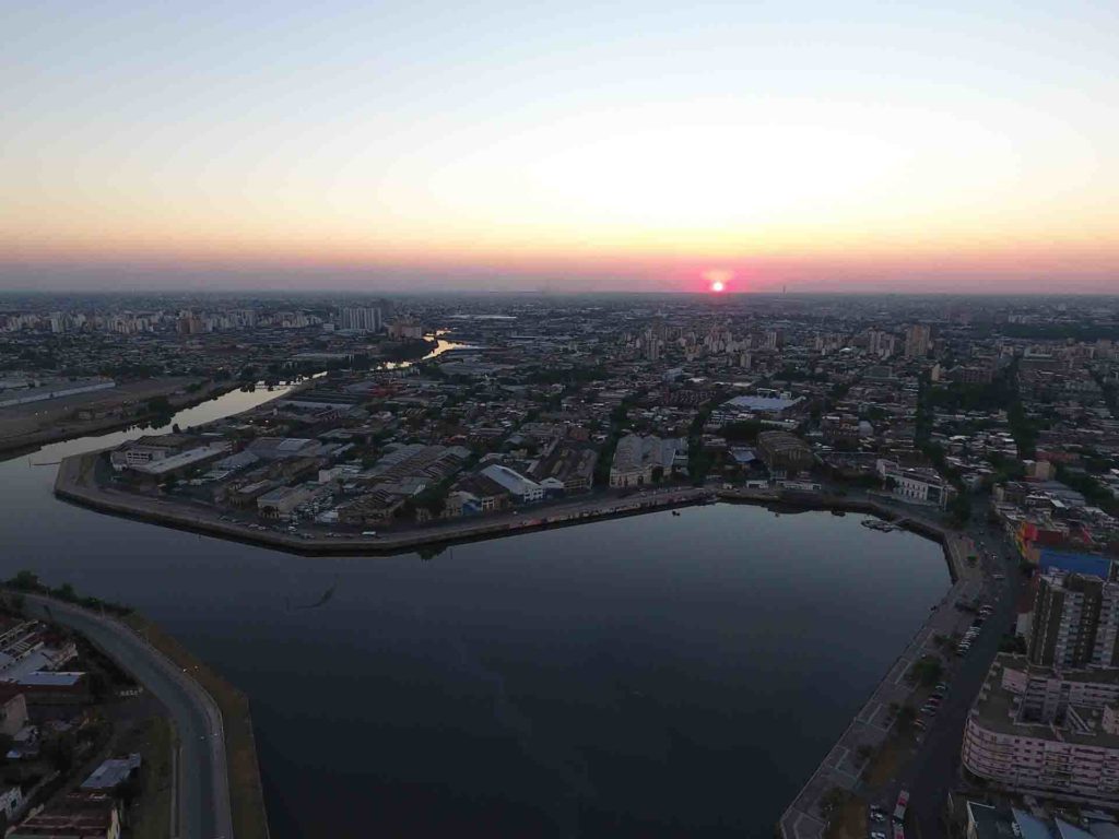
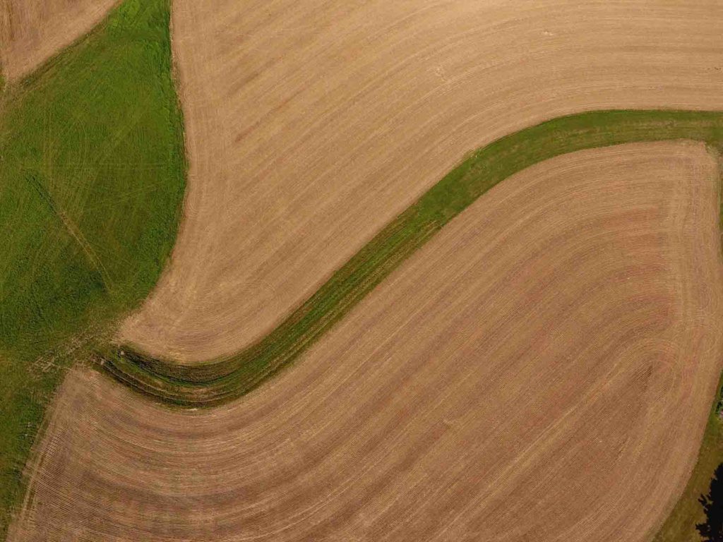
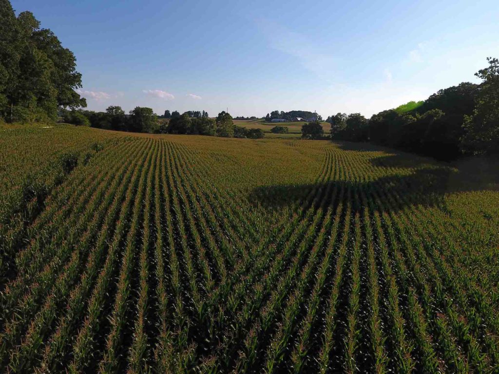
The dream of capturing aerial views is today possible thanks to the amazing technology of drones. A drone is a super sophisticated flying camera that requires a skilled pilot and image expert to get the job done. We are FAA registered and ready to capture those aerial views for you. Now the sky is not the limit. The limit is your imagination. We operate and register for you and yuor project. Our skills will make possible to fly and photograph or videotape what you need, outdoors or indoors.
Our Drone offer huge savings compared with hours of airplane or helicopter to survey the ground or buildings or for cartography, topography, feature recognition, archaeology and GIS applications.
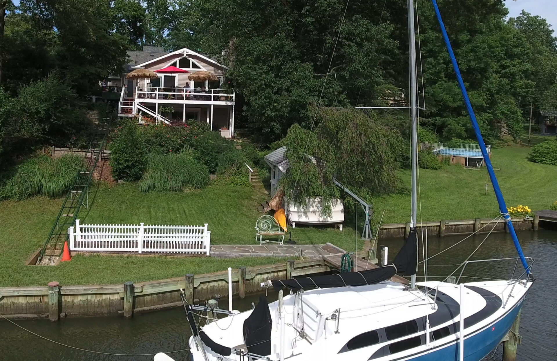
Using a drone to capture low altitude aerial footage shows large
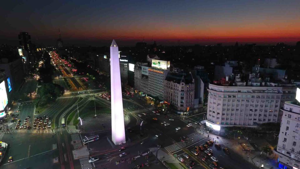
These are one of the most exiting applications using a camera drone. A new perspective showing participation of public, large decorations, action.
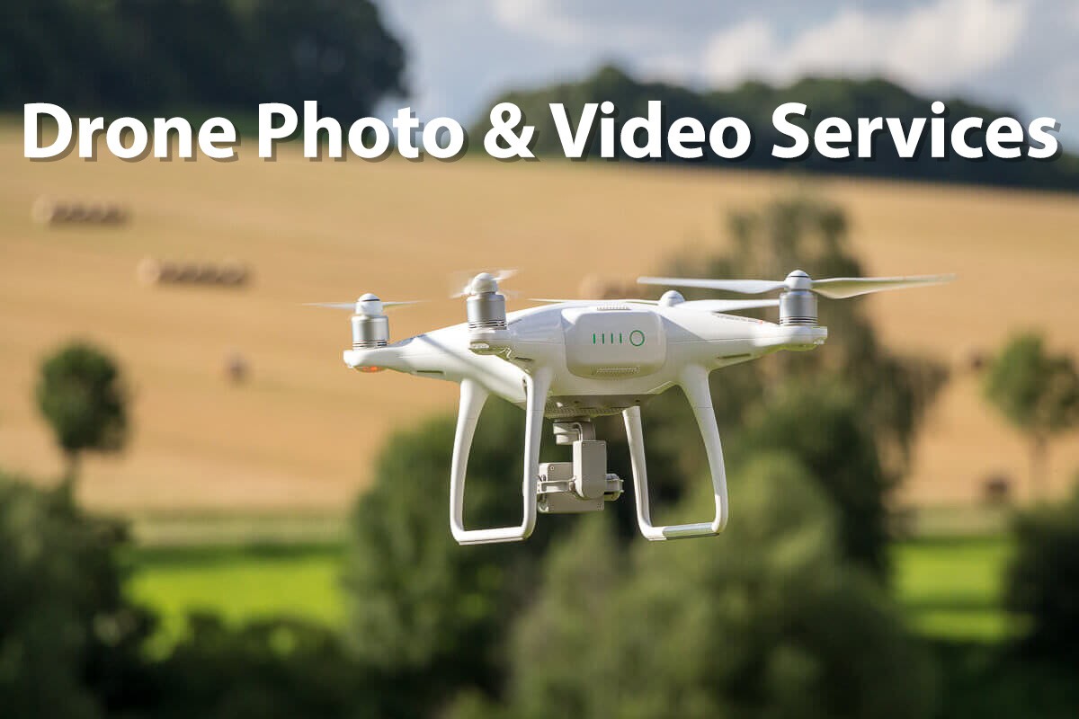
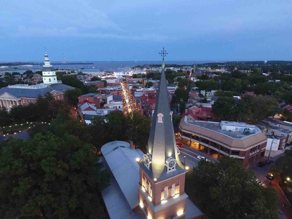
Drone Photo and Video
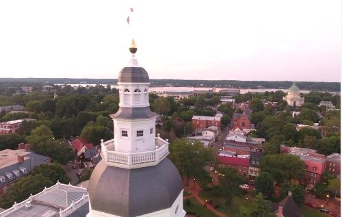
Aerial Surveying
Real Estate
pieces of property and homes with unique features more quickly than standard video and photography. Aerial videos attracts more listings.Sports and Events
eddie@eaphoto.com
301-512-9182

